Aerial · Surface · Underwater
Explore maritime vision A visual tour of the datasets and tasks behind MaCVi. Browse a sample, play a short clip, or jump straight to the data and evaluation rules.
17 dataset families23 evaluation tracks1 cross-task challenge
27 visual examples
No matches. Try another environment, task or search term. Clear filters
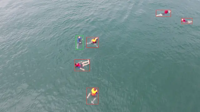
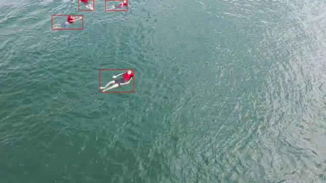
Aerial Detection
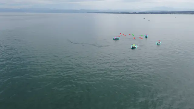
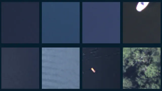
SeaDronesSee · detection v2 Detect small maritime objects across diverse flight heights and views.
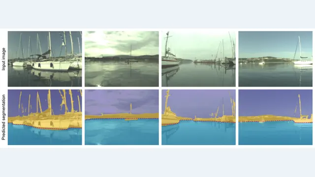
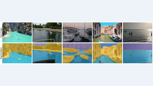
Surface Segmentation
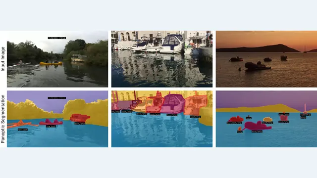
LaRS · panoptic segmentation Recognise scene regions and separate individual obstacles.
Underwater Detection
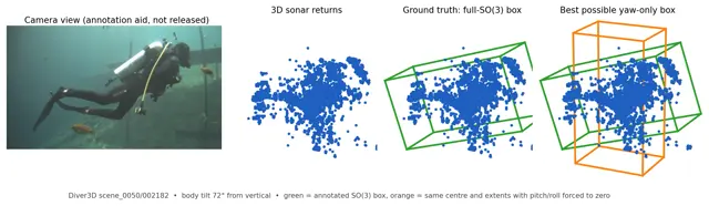
Diver3D · 3D sonar detection Detect divers and estimate oriented 3D bounding boxes.
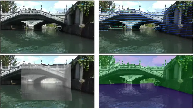
Surface Segmentation
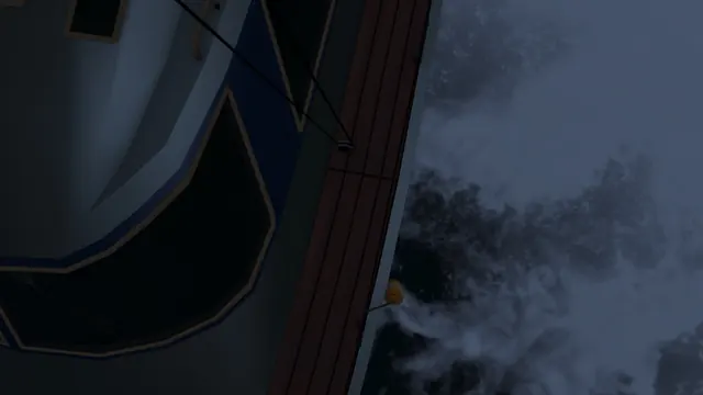
MULTIAQUA · multimodal segmentation Combine three sensor modalities to understand difficult low-light scenes.
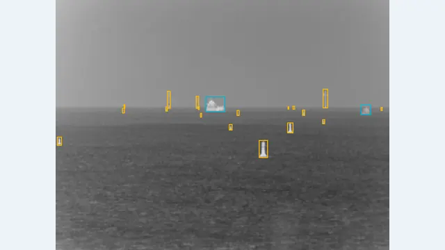
Surface Detection
Thermal object detection Detect maritime objects in thermal images.
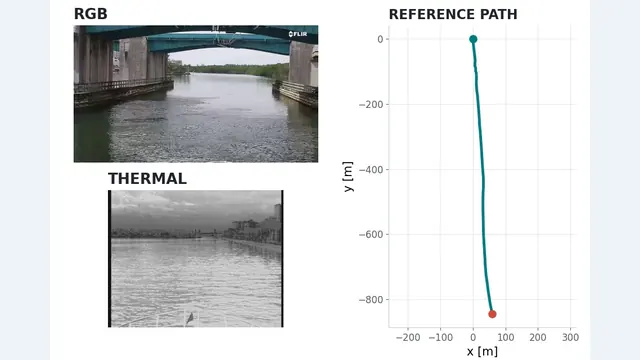
Surface Geometry
Maritime visual odometry Recover a camera trajectory from boat-mounted video.
Boat-camera motion preview
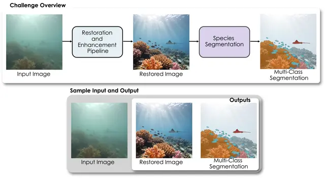
Underwater Segmentation
EURS · Jetson embedded evaluation Evaluate the full restoration and segmentation model on Jetson hardware.
Surface Tracking
BoaTrack · multi-object tracking Track maritime objects from a moving boat.
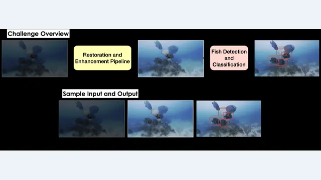
Underwater Restoration
MarineVision restoration Restore degraded underwater imagery while preserving useful visual detail.
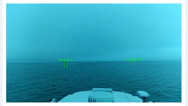
Surface Geometry
Monocular object distance estimation Detect buoys and estimate how far they are from the camera.
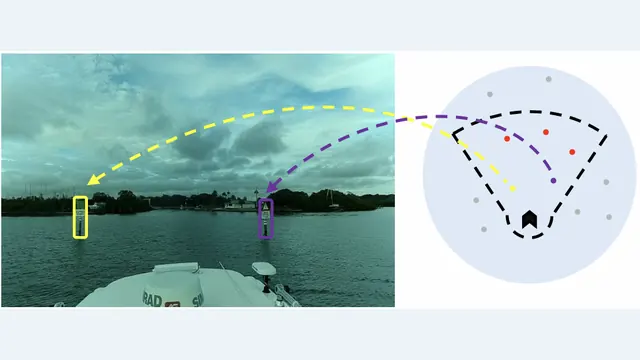
Surface Geometry
Vision-to-chart data association Match visible buoys to the corresponding markers on a nautical chart.
Aerial Classification
Boat-MNIST · image classification Decide whether an image patch contains a watercraft on the water.
Aerial Dataset only
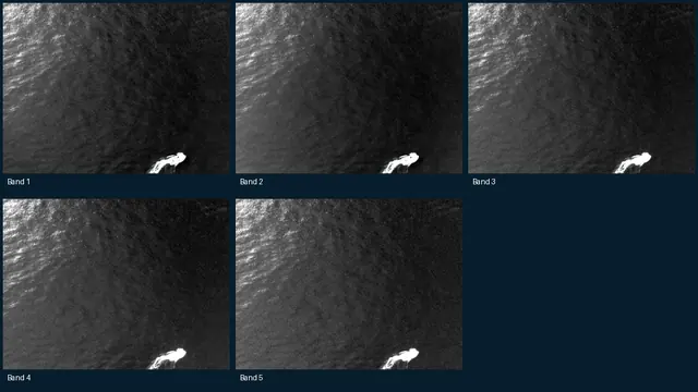
SeaDronesSee multispectral Multi-band UAV imagery and object annotations for maritime perception.
Five bands shown with independent contrast normalization. No hosted leaderboard.
Aerial Dataset only
Synthetic SeaDronesSee Rendered maritime UAV scenes for studying synthetic-to-real transfer.
Night-time synthetic training example. No hosted leaderboard.
Aerial Dataset only
Seagull Fixed-wing UAV sequences spanning visible, infrared and near-infrared cameras.
Sample: VisLab / Seagull. Dataset access is by request; no MaCVi leaderboard.
Surface Segmentation
MODS · obstacle segmentation Separate navigable water, obstacles and sky.
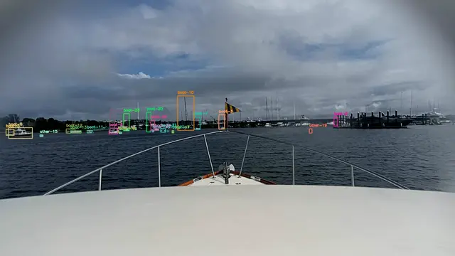
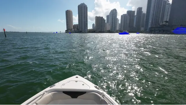
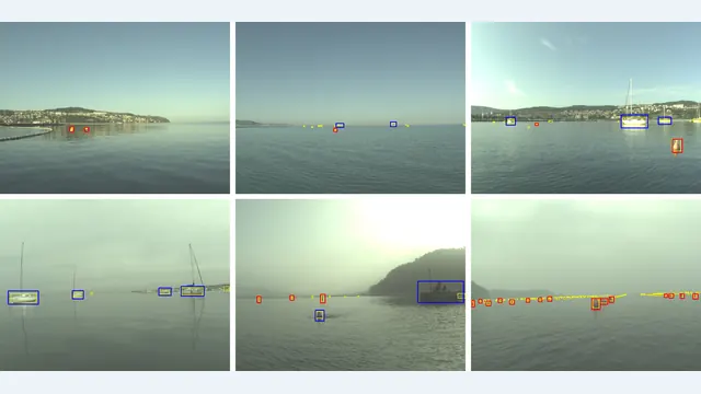
Surface Detection
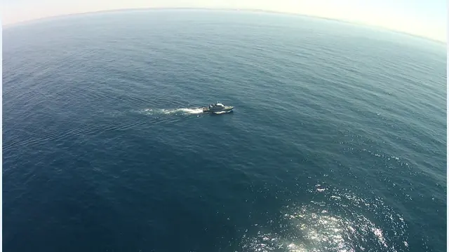
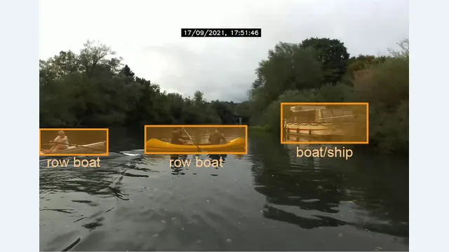
BoaTetection · boat and buoy detection Detect boats and buoys with an uploaded model.
Task illustration · related surface imagery
Surface Cross-task
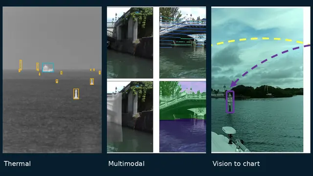
Generalist Meta challenge Study methods that transfer across thermal, multimodal, segmentation and chart-association tasks.
Cross-task challenge · shared source datasets
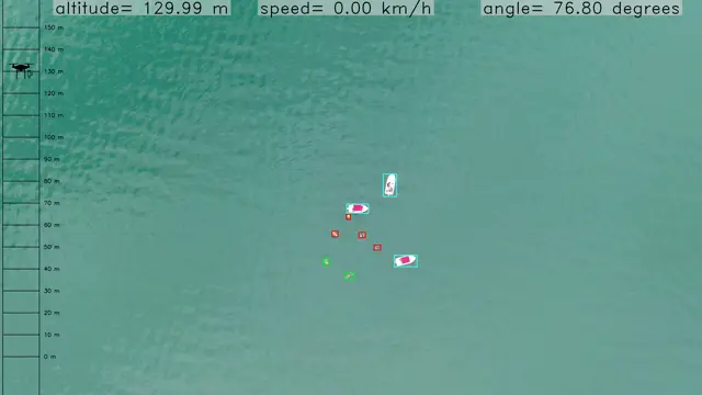
Aerial Detection
SeaDronesSee · detection v1 Find people, boats and other maritime objects in aerial views.
Aerial Tracking
SeaDronesSee · single-object tracking Keep one target in view through a complete video sequence.
SeaDronesSee video sample
Aerial Tracking
SeaDronesSee · multi-object tracking Follow multiple maritime objects while preserving their identities.
Aerial Tracking
SeaDronesSee · tracking with re-identification Recover object identities across longer and interrupted observations.
Surface Detection
MODS · obstacle detection Find navigational obstacles from an unmanned surface vessel.
Surface Segmentation
LaRS · semantic segmentation Label water, sky and obstacles at pixel level.
Surface Segmentation
LaRS · embedded segmentation Balance segmentation quality with throughput on constrained hardware.
Surface Detection
LaRS · obstacle detection Detect obstacles in forward-facing boat-camera images.
Underwater Restoration
EURS · public development evaluation Explore restoration and segmentation on the public development split.
Development-set leaderboard · unofficial